MetaMeta focusses on multiple components of Land Management covering agricultural and pastoral areas as well as more overarching environmental catchments. Key topics are land rehabilitation, local climate management, and land degradation assessment. Our approaches consist of on-site interventions such as soil erosion prevention measures, GIS and remote sensing-based assessments, as well as integrated land management approaches with the inclusion of indigenous knowledge. Co-designing interventions with community members and other stakeholders forms a core aspect of many of our projects.

Land Rehabilitation
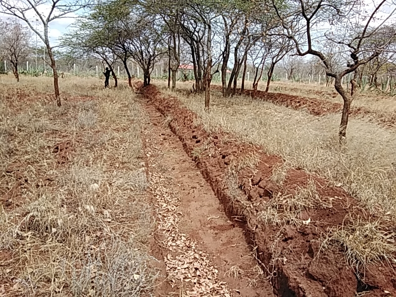
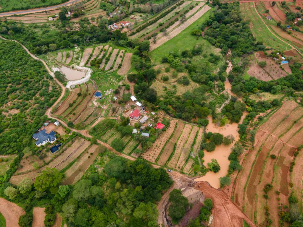
Climate change and the progressive growth in population has resulted to over utilization of natural resources leading to land degradation. One of MetaMeta’s aim is to restore degraded or damaged land to a more productive and healthier state. Our objective is to to reduce or eliminate negative impacts on the environment and local communities resulting from deforestation, mining, poor agricultural practices and contaminated sites. Metameta applies various techniques including soil conservation measures such as contour ploughing, terracing and the use of cover crops, erosion control measures, such as the construction of check dams and gabions and reforestation, which can help to improve soil fertility and protect against soil erosion.
Local Climate Management
Our local climate is affected when there are different changes in landscape. Such changes may be due to climate change and human effects such as growing trees in/around their fields, digging of soil bunds, mitre drains, and farm terracing for water retention. In the current global climate change, different initiatives are developed for adaptation and mitigation. These initiatives are aimed at creating better resilient production systems and carbon sequestration. However, our local microclimates are given little or no focus yet they offer a potential alternative way towards climate change and adaptation. With well-managed local microclimate, we are able to build ecosystem resilience that looks toward better agricultural landscape productivity and biodiversity/ecosystem conservation. We promote better management of our local microclimate towards improving our landscape through; water harvesting, soil moisture retention, shallow ground water, growing of cover crops and Agroforestry.


Rangelands/Pastoralism
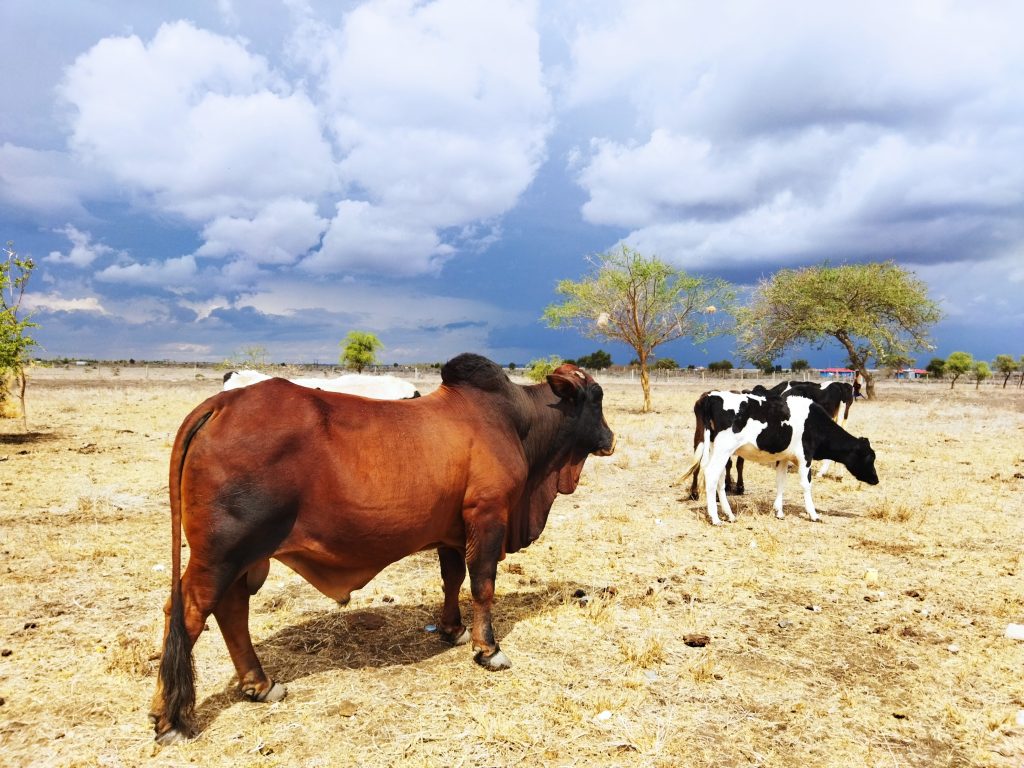
Pastoralists are often marginalized and misunderstood when it comes to land management and conservation. MetaMeta works together with multiple pastoral communities to collectively determine which areas consist of healthy rangelands and which areas are (risking becoming) degraded. This is done by combining for example indigenous knowledge, GIS & Remote Sensing, soil measurements and citizen science. Tools are created for informed decision making, evidence-based advocacy, and Monitoring & Evaluation.
Indigenous land management strategies such as mobility, zoning, and herd diversification are essential for resilient pastoral livelihoods. In addition, in areas where rapid land privatization and area enclosure is occurring (such as Kajiado) such indigenous strategies can be combined with grass seed banks, fodder production, and land restoration approaches (in areas which are identified by the community as degraded). It should be noted, that degradation may have various definitions depending on the land user. For some it may be represented by invasive species such as Mathenge (Prosopis), for others it may be decreasing species of palatable grasses, while for others its identified as loss of soil or a combination of the above. Additionally, ASAL rangelands are characterized by erratic, patchy, rainfall which may mislead land degradation assessments if not taking into account temporal factors (e.g. through Remote Sensing).
By working closely with community members, conservation agencies, government agencies and other stakeholders, MetaMeta supports in well-informed evidence-based decision making to move towards healthy rangelands for both pastoralists as well as wildlife.
